

You can find on this page the USA satellite map to print and to download in PDF. The USA map from satellite presents new pictures of USA as seen from the sky in Americas.
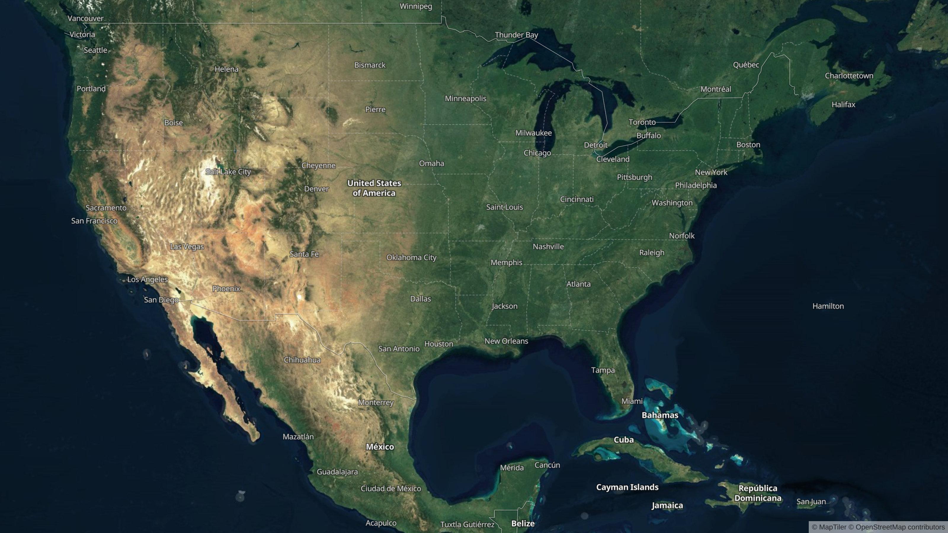
The USA satellite map shows new pictures of USA as seen from the sky. This satellite map of USA will allow you to visit the country USA in Americas as seen from the sky. The USA satellite map is downloadable in PDF, printable and free.
The continental USA contains two harbor indented coasts of several thousand miles from which well watered coastal plains rise to two mountain ranges between which is an arable plain overlaid by thousands of miles of interconnected and navigable rivers as its mentioned in USA satellite map. The Texas continental crossroads, the southerly deserts, and the basin and range country of Utah and Nevada complete the picture. The combination of rivers navigable thousands of miles inland, running throughout virtually all of the largest contiguous area of farm land in the world, has helped to make the USA the world breadbasket and wealthiest nation by far.
The continental USA are bordered on the east by the Atlantic Ocean, on the southeast by the Gulf of Mexico, and on the west by the Pacific Ocean. Alaska lies amidst several bodies of water: on the north are the Beaufort Sea and the Arctic Ocean; on the west are the Chukchi Sea, the Bering Strait, and the Bering Sea; and on the south is the Gulf of Alaska as you can see in USA satellite map. The Hawaiian Islands lie in the North Pacific Ocean.
This satellite map shows the terrrain of the USA in shaded relief. Higher elevations are shown in brown and tan, like the Rocky Mountains and Pacific Coast Ranges of the western United States. In the eastern USA, the Appalachian Mountains trend from New England down to Alabama. You can see numerous rivers running across the country to the Mississippi River Basin, which drains everything from the Rockies in the west to the Appalachians in the east. Major lakes are also shown on the map, including the Great Lakes in the northeast, the Great Salt Lake of Utah, and Lake Okeechobee in Florida.