

You can find on this page the blank map of USA to print and to download in PDF. The contours map of USA presents the international boundary of USA in Americas. You can use the vector map of USA for personal or educational use.
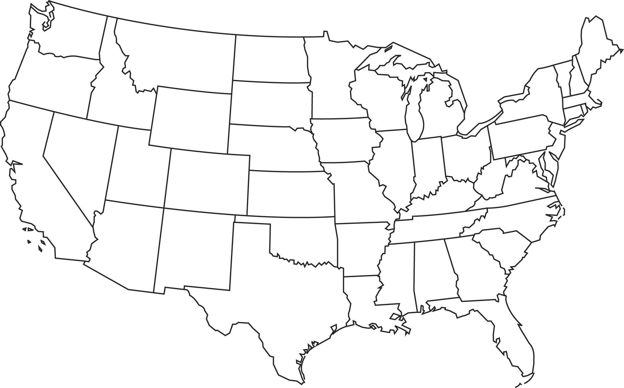
The blank map of USA shows the country USA empty. This blank map of USA will allow you to use the map for personal activities or educational with children for example (drawing). The empty map of USA is downloadable in PDF, printable and free.
The contiguous forty-eight states of USA are otherwise bounded by the Pacific Ocean on the west, the Atlantic Ocean on the east, and the Gulf of Mexico to the southeast as its mentioned in the blank map of USA. Alaska borders the Pacific Ocean to the south, the Bering Strait to the west, and the Arctic Ocean to the north, while Hawaii lies far to the southwest of the mainland in the Pacific Ocean.
Forty-eight of the states are in the single region between Canada and Mexico; this group is referred to, with varying precision and formality, as the continental or contiguous USA, and as the Lower 48. Alaska, which is not included in the term contiguous USA, is at the northwestern end of North America, separated from the Lower 48 by Canada. The State of Hawaii is an archipelago in the Pacific Ocean as you can see in the blank map of USA. The capital city, Washington, District of Columbia, is a federal district located on land donated by the state of Maryland. (Virginia had also donated land, but it was returned in 1847.) The USA also has overseas territories with varying levels of independence and organization.
Except for Puerto Rico, USA territories and dependencies consist of very small islands. The USA Virgin Islands and Navassa Island are located in the Caribbean; the rest are in the Pacific Ocean as its shown in the blank map of USA. These include American Samoa, Guam, Baker Island, Howland Island, Jarvis Island, Johnston Atoll, Kingman Reef, Midway Islands, Palmyra Atoll, and Wake Island.
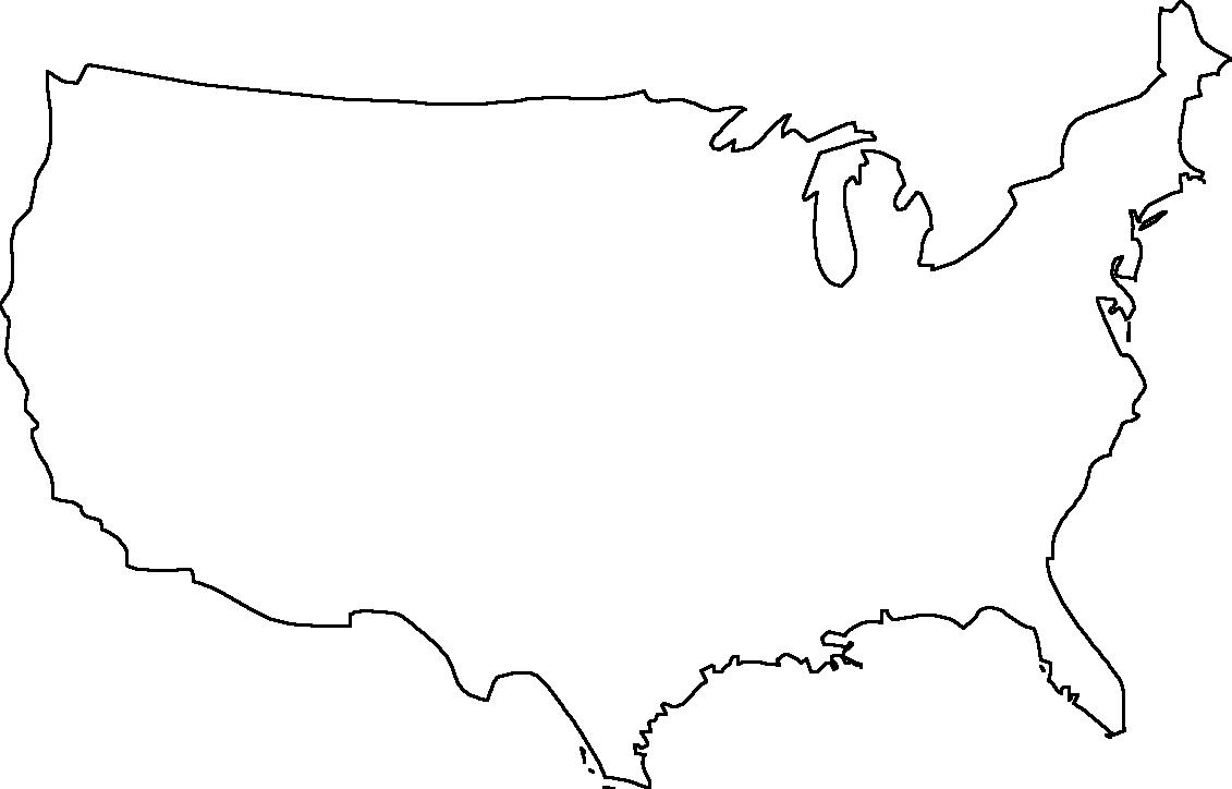
The USA map outline shows all the contours and international boundary of USA. This outline map of USA will allow you to easily learn about neighboring countries of USA in Americas. The USA contours map is downloadable in PDF, printable and free.
USA country shares land borders with Canada and Mexico and maritime (water) borders with Russia, Cuba, and The Bahamas in addition to Canada and Mexico as its shown in USA map outlines. It consists of forty-eight contiguous states in North America, Alaska, a peninsula which forms the northwestern most part of North America, and Hawaii, an archipelago in the Pacific Ocean. There are several USA territories in the Pacific and Caribbean.
From 1989 through 1996, the total area of the USA was listed as 9,372,610 km2 (3,618,780 sq mi) (land + inland water only) as its mentioned in USA map outlines. The listed total area changed to 9,629,091 km2 (3,717,813 sq mi) in 1997 (Great Lakes area and coastal waters added), to 9,631,418 km2 (3,718,711 sq mi) in 2004, to 9,631,420 km2 (3,718,710 sq mi) in 2006, and to 9,826,630 km2 (3,794,080 sq mi) in 2007 (territorial waters added). Currently, the CIA World Factbook gives 9,826,675 km2 (3,794,100 sq mi), the United Nations Statistics Division gives 9,629,091 km2 (3,717,813 sq mi), and the Encyclopædia Britannica gives 9,522,055 km2 (3,676,486 sq mi).
The USA land boundaries as you can see in USA map outline is: 12,219 kilometers (7,593 miles) total boundary length; Canada 8,893 kilometers (5,526 miles); Mexico 3,326 kilometers (2,067 miles). Its longest distances are: 4,662 kilometers (2,897 miles) from east-northeast to west-southwest; 4,583 kilometers (2,848 miles) from south-southeast to north-northwest.
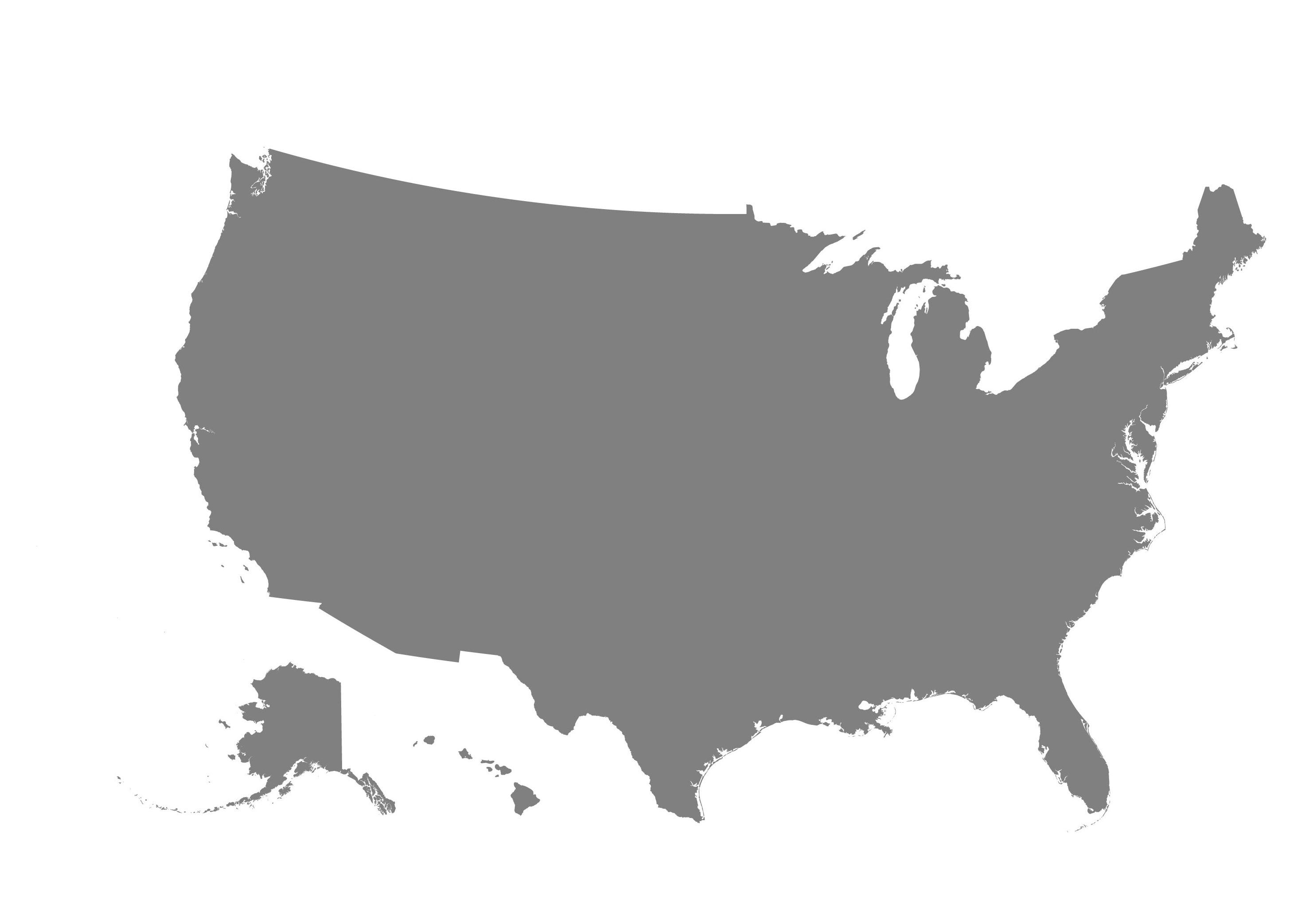
The vector map of USA shows entire surface of USA empty. This vector map of USA will allow you to make changes or add details to the map of USA in Americas, for personal or educational purposes. The vectorial map of USA is downloadable in PDF, printable and free.
The Contiguous USA is compact, but the USA which includes Alaska and Hawaii is fragmented as its shown in USA map vector. The USA, the land of the free consists of 50 states. Over 327 million people reside in America making it the third most populous country in the world. The USA is also the fourth largest country in the world by total area. This vast country is well known across the world and has a cultural imprint that is driven by technological innovation, popular movies, television, and music.
USA is home to many natural wonders of the world. In fact, the United Nations Education, Scientific, and Cultural Organization (UNESCO) has recognized many heritage sites in USA. Some examples of the UNESCO world heritage sites in USA as its mentioned in USA map vector are the Grand Canyon National Park, the Great Smoky Mountains National Park, Yellowstone National Park, and a few others.
USA has a huge impact on global culture and a portion of that stems from entertainment. Many romance and action movies we enjoy are filmed and produced in the USA (see USA map vector). Hollywood is globally well-known as the center of entertainment and some would consider that it is one of the most famous places on earth. Hollywood attracts tourists from all over the world with landmarks such as the brass star embedded Walk of Fame and the TCL Chinese Theatre.